Map and Geospatial Hub news

Mapping Neurodiversity: An Introduction to OpenStreetMap
Register now!Event Description:Join the ASU Library to learn about the open-source mapping platform OpenStreetMap and its potential to support accessibility and neurodiverse communities.Led by social ...

Map of the Month: January 2026
Great Smoky Mountains National Park is the most visited national park in the United States. This map, Proposed Great Smoky Mountains National Park, North Carolina-Tennessee, shows one set of proposed ...

Poetry from Many Worlds
The Map and Geospatial Hub is collaborating with The School of International Letters and Cultures for their Poetry from Many Worlds Event, which consists of 1-hour reading of poems in the original lan...

ASU GIS Day
Celebrate GIS Day at ASU! Join the global celebration and discover how Geographic Information Systems shape communities and the world. Hosted by ASU's School of Geographical Sciences & Urban Pl...

Map of the Month: September 2025
The Four Corners region is the long-inhabited homeland of two peoples, the Hopi and the Diné, also known as the Navajo. The Hopi reservation lies entirely within the state of Arizona and is entirely c...

Map of the Month: August 2025
Lima was founded by the Spanish Conquistador Francisco Pizarro in a fertile river valley in 1535. In 1542, it was made the capital of the Viceroyalty of Peru. Lima is the capital and largest city in P...

Map of the Month: July 2025
Welcome to our July 2025 Map of the Month! This month's map, Manhattan New York, by Unique Media Incorporated, is one that at first glance may seem like an ordinary artistic depiction of a city. Howev...

Map of the Month: May 2025
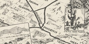
From the San Francisco peaks to the banks of the Salt River, Arizona is arguably one of the most breathtaking states in the continental U.S. While many people carry generalized ideas about the physica...

Map of the Month: April 2025
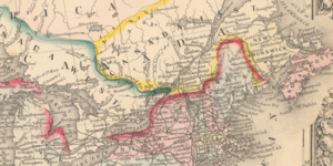
The United States and Canada have a long shared history and strong cultural and political ties. They existed together as part of British America until the independence of the Thirteen Colonies in 1783...